LiDAR Mapping & Surveying: High-Density Data for Complex Environments
(This Service begins October)
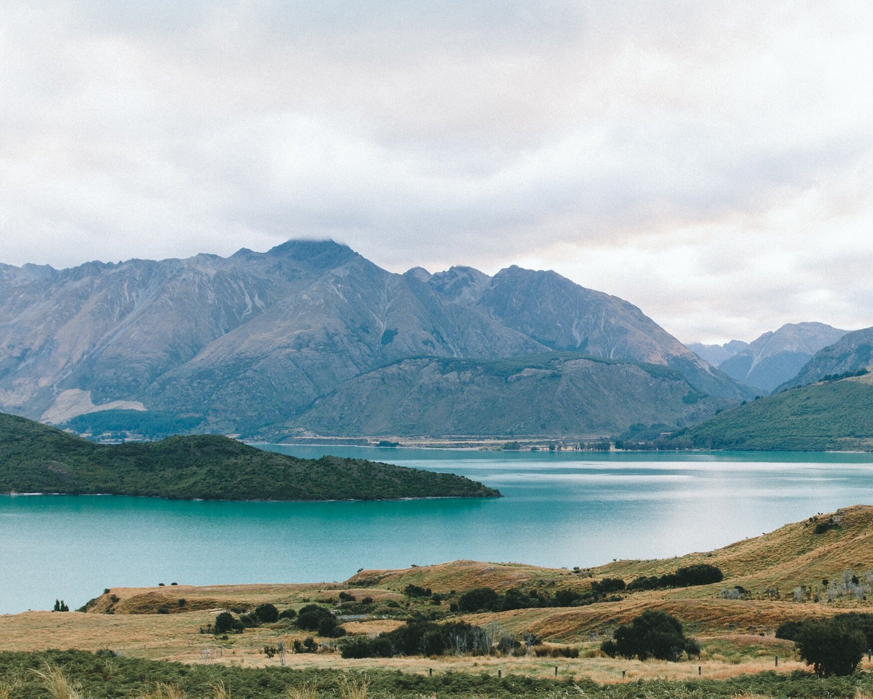
Capture true ground topography with unparalleled speed and accuracy. Even through dense vegetation.
For engineers, surveyors, and developers, accurate terrain data is the foundation of every successful project. But traditional surveying can be slow, labor-intensive, and often impossible in challenging or densely vegetated terrain. Photogrammetry is powerful, but it can only see the surface. LiDAR (Light Detection and Ranging) is the game-changing solution, providing a complete, three-dimensional digital twin of your site with unmatched detail and precision.
Our Technology: The LiDAR Advantage
We utilize a state-of-the-art aerial LiDAR system designed for the most demanding survey and engineering applications. This technology actively scans the ground with laser pulses to measure millions of points, delivering a level of detail that is simply unattainable with other methods.
DJI Matrice 350 with Zenmuse L2: Our heavy-lift drone platform is paired with the industry-leading Zenmuse L2 LiDAR + RGB sensor. This integrated system allows us to capture both high-density point clouds and high-resolution visual imagery in a single flight.
Vegetation Penetration: This is the core strength of LiDAR. The laser pulses can penetrate through forest canopies and dense vegetation to capture the true "bare-earth" topography underneath. This eliminates the need for costly and time-consuming land clearing for preliminary surveys.
RTK & GCP for Survey-Grade Accuracy: Paired with an RTK base station and optional ground control points (GCPs), our system achieves centimeter-level absolute accuracy, ensuring our data meets the rigorous standards of professional surveyors and engineers.
Actionable Deliverables for Your Workflow
Our goal is to provide data that plugs directly into your existing software and design processes. Your final deliverable package can include:
Classified & Colorized Point Clouds: Receive a rich, dense point cloud in LAS or LAZ format, classified into ground, vegetation, and structure categories for immediate analysis.
Digital Terrain Models (DTM): A true bare-earth model of your site, essential for accurate hydrologic modeling and contour generation.
Digital Surface Models (DSM): A model that includes the tops of all features, including buildings and tree canopies, perfect for line-of-sight analysis and obstruction mapping.
Topographic Contours: We generate precise contour lines at your specified intervals (e.g., 0.5', 1', or 2') for direct use in civil engineering design plans.
High-Resolution Orthomosaic Photos: A detailed visual map to complement the LiDAR data, providing real-world context to your 3D models.
CAD & GIS-Ready Exports: All data can be delivered in formats (DXF, KMZ, etc.) compatible with your team's AutoCAD, Civil 3D, ArcGIS, or other design platforms.
Industry-Specific Applications
For Civil Engineers & Land Surveyors: Drastically reduce field time and accelerate project timelines. Our LiDAR service can replace or supplement traditional boots-on-the-ground survey work, especially for large or inaccessible tracts. Capture precise elevation data and "bare-earth" topography under heavy tree cover for more accurate site design and planning.
For Construction & Infrastructure Teams: Begin your project with a foundation of certainty. Perform highly accurate pre-construction terrain modeling to optimize site layout and grading plans. Calculate cut/fill volumes with unmatched precision using a dense point cloud that captures every nuance of the terrain.
For Environmental & Land Managers: Map and monitor sensitive environments safely and non-invasively. Our LiDAR data is invaluable for modeling forest canopies, identifying erosion-prone areas, planning habitat restoration, and accurately mapping floodplains and watersheds with fine contour intervals.
When Accuracy Is Everything, Choose LiDAR.
For complex projects where there is no room for error, LiDAR provides the most complete and reliable dataset. BuzzBot Drone LLC offers FAA Certified and Fully Insured LiDAR services for clients throughout NEPA, North & Central NJ, and NY.
Contact us to discuss the unique challenges of your project and discover how our LiDAR services can provide the solution.
📦 LiDAR Service Packages & Pricing
🟢 Basic Terrain Capture
– $2,200/site (up to 20 acres)
Ideal for topographic mapping, small engineering sites, or rural terrain.
Includes:
Colorized LiDAR point cloud (LAS/LAZ)
Digital Terrain Model (DTM)
1’ contours
Orthophoto (GeoTIFF)
RTK accuracy report
3–5 day delivery
🔵 Full Topo Mapping Package – $3,400/site (up to 50 acres)
Best for engineering, grading plans, and pre-construction mapping.
Includes:
DTM & DSM
0.5’ or 1’ contours
High-density point cloud (20–30 pts/m² avg.)
Orthophoto
KMZ overlay & CAD exports (DXF/SHAPE)
2–4 day delivery
GCP integration optional (+$350 if required)
🔴 Advanced Multi-Site or Corridor Survey – Custom quote starting at $6,500
Perfect for utility corridor mapping, large property development, infrastructure routing, or compliance surveys.
Includes:
Multi-site or corridor scan (up to 5 miles or 200+ acres)
All deliverables from the Full Topo Package
Breakline integration (optional)
Custom classification (ground, building, vegetation, etc.)
Georeferenced video or panoramic output available
5–10 day delivery depending on site size and classification complexity
📍 Optional Add-Ons:
Vegetation & building classification – $450
Surface water mapping & hydrology modeling – $350–$750
Repeat scans for change detection or construction monitoring – Custom pricing
Post-processing of client-supplied GCPs – $250–$400
🚀 Ready to Elevate Your Survey Work?
LiDAR mapping with BuzzBotDrone gives you survey-grade data from the sky—accurate, efficient, and built for CAD.
🌐 LiDAR Surveying & Advanced Mapping – Start a Project Brief
Precision data starts here.
Planning a LiDAR scan or terrain mapping job? Let’s connect to define your project specs, deliverables, and timeline.
We’ll meet via Google Meet or provide a quote after our initial consult and site visit. — no guesswork, just accurate results.