

Mocanaqua Loop Trail Climbing Area
Drag to rotate. Pinch or scroll to zoom.
Loading interactive model. The preview remains visible while it loads.
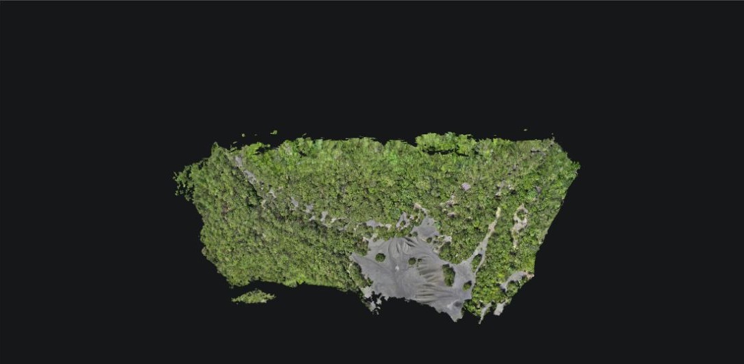
This model is one example of what our drones can do. Built from stitched and processed aerial photographs captured with the DJI Matrice 4E, it lets you explore the Mocanaqua Loop Trail climbing area in 3D.
3D models for your project
Our mapping drones collect useful data for developers, engineers, and individuals who need a clearer view of their project. Mapping imagery can be processed into a 3D representation of a site or structure.
We provide custom drone capture and 3D modeling services for land, structures, and homes. Whether you are reviewing a development site, documenting a building, or would like a 3D model of your own property, we can accommodate projects for both professional teams and individuals.
Tell us what you want to capture and how you plan to use the model. We will discuss site access, coverage, level of detail, and suitable deliverables. Ask about a custom 3D model.
Drone-derived models support visualization and planning. They do not replace a licensed survey or professional design review when required.